
Located in northern India, Himachal Pradesh (Abode of Snow) is surrounded by Jammu and Kashmir in the north, Punjab, Haryana, Uttar Pradesh in the south, southeast of Uttaranchal and the Chinese territory of Tibet to east. The state is mostly covered by low range of hills south Shivalik and dramatic high trans-Himalayan chain, as you go north. So you can spend the hill town of Dharamsala in the south in 1700, the Lahaul and Spiti, the district further north at 6500m. The geography and climate from snow to cool, set the sights and Himachal, in fact, tourism and economy of Apple managed by the state. Sutlej, Beas, Ravi and Parvati is the main watercourse.
Because of its mountainous nature, Himachal can be better understood in the valleys. In the southern valley of Kangra, Dharamsala, and a sister city McLeodganj are essential for the Dalai Lama of Tibet in exile.
About Dharamshala
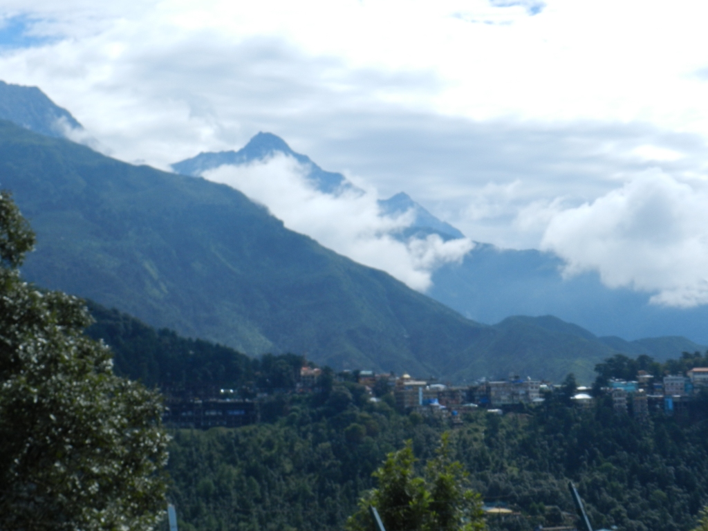
This is a hill station lying on the spur of the Dhauladhar range about 17 kms north- east of Kangra town. This hill station is wooded with oak and conifer trees and snow capped mountains enfold three sides of the town while the valley stretches in front. The snowline is perhaps more easily accessible at Dharamshala than at any other hill resort and it is possible to make a day's trek to a snow-point after an early morning's start. Dharamshala is also the headquarter of the Kangra district.
 Dharamshala Cricket Ground
In and around Dharamshala, one can visit the Kangra Art museum at Kotwali bazar, War memorial, Kunal Pathri temple and tea gardens on way to Kunal Pathri. There is also a beautiful Cricket stadium in the city facing mighty Dhauladhar.
 Dalai Lama Monastery, Mcleodganj
Mcleodganj

Dharamshala consists of two distinct parts - Lower Dharamshala and Upper Dharamshala. Lower Dharamshala is a busting civil and commercial centre whereas Upper Dharaamshala retains a colonial lifestyle with its British - modeled suburbs of Mcleodganj and Forsythganj.

General information
Languages Spoken: Hindi, Punjabi, English and Pahari are understood and spoken by the people engaged in tourism trade
Shopping centres: Kotwali Bazar, a general shopping area, and McLeod Ganj for Tibetan handicrafts
Area: 5739 sq. km
Population: 13.39 lakh
Altitude: Between 1250 m to 1550 m (Dharamshala)
Temperature: Max. 38 C in June; Min. 0 C in Jan.
Annual rainfall: Varies between 290 cm to 380 cm second highest rainfall in the country.
Best season: January to June; September to December. July-August is rainy season.
Clothing
Winter: Heavy Woollens
Summer: Light Woollens and tropical
Dharamshala Airport

Approach
Air: The nearest airport at Gaggal is 14 km away after which it is accessible by road.
Rail: Pathankot is the nearest broad gauge railway terminal to Dharamshala. From Pathankot there is a narrow gauge railway line up to Kangra (94 km) and from here Dharamshala is 17 km by road.Road: Direct and regular bus service from Delhi (520 km), Chandigarh (250 km), Jammu (210 km), Shimla (238 km), Chamba (185 km) and Manali (240 km).
No comments:
Post a Comment